
Summer 2013 - Southwest
Take Two
Williams, AZ
August 9, 2013
Area Map
Photographs and Commentary
Click on picture to enlarge
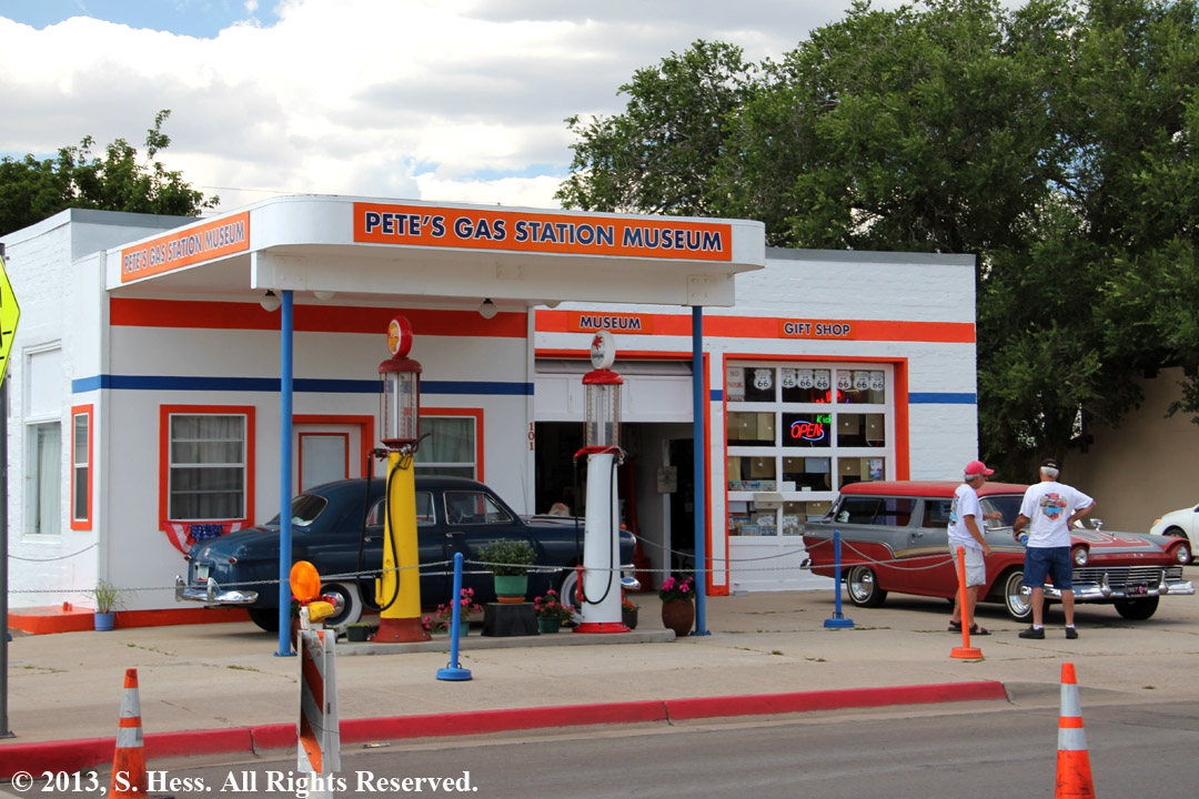
A friend wrote me to ask if I had enough visits to pueblos, ancient and current. We still have some other pueblos to visit on this trip, but we figured we should visit something more recent... remnants of the Mother Road, Route 66. Route 66 ran from Chicago through St. Louis, Oklahoma City, Albuquerque, Flagstaff and ended in Los Angeles. Most of route 66 was replaced by Interstate highways and many towns were bypassed. When you drive through towns like Tucumcari, NM and Needles, CA, you will see boarded up shops, closed motels and restaurants.
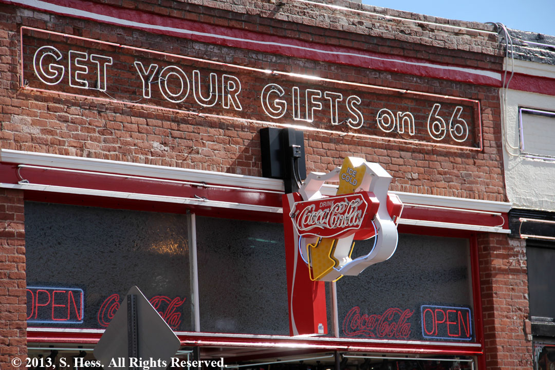
Williams and Flagstaff survived the Interstate curse. Flagstaff, the county seat of Coconino, is at the intersection of two Interstate highways. It serves as a hub for this part of Northern Arizona and that helped it survive. Williams owes its survival to the fact that it lies on the road to the main entrance of the Grand Canyon's south rim. Of the two towns, we found Williams more like what our (at least my) image of what the towns used to look like and it was more fun to walk through.
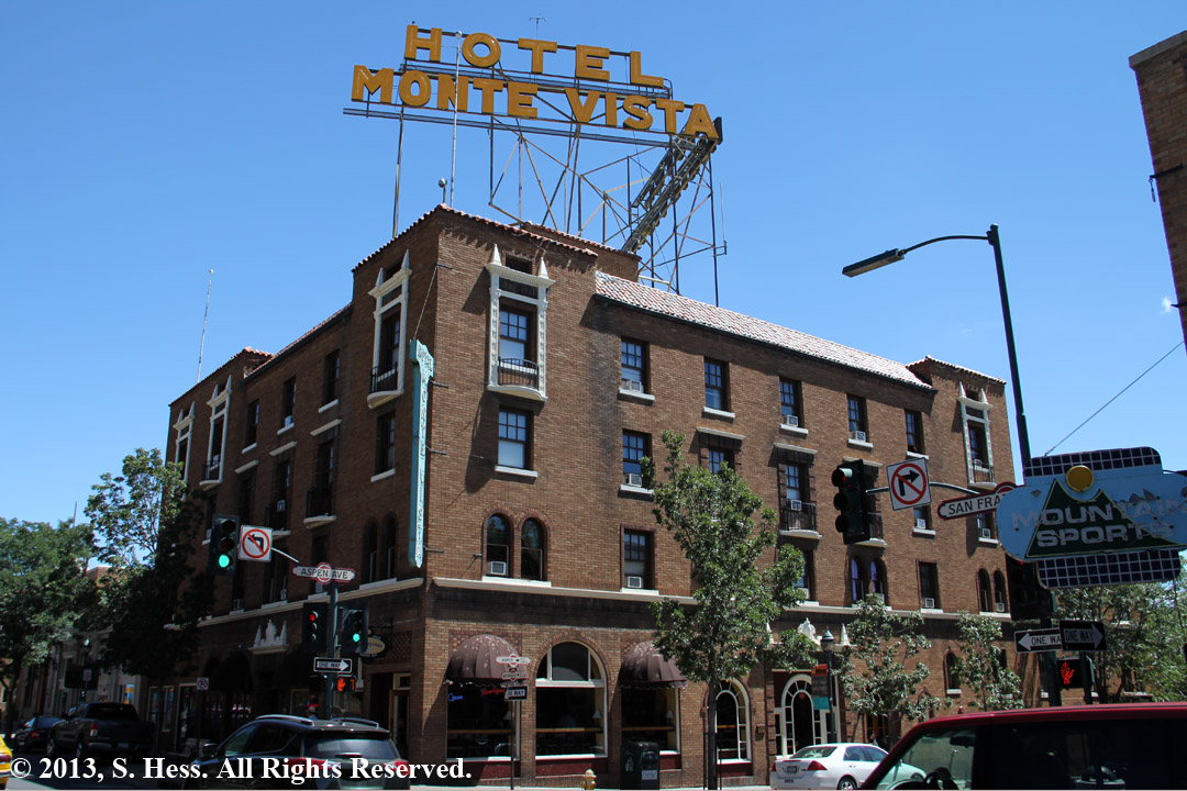
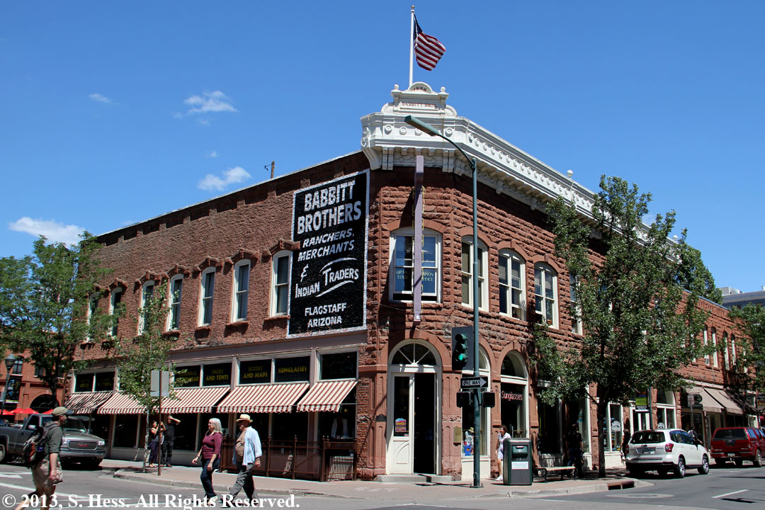
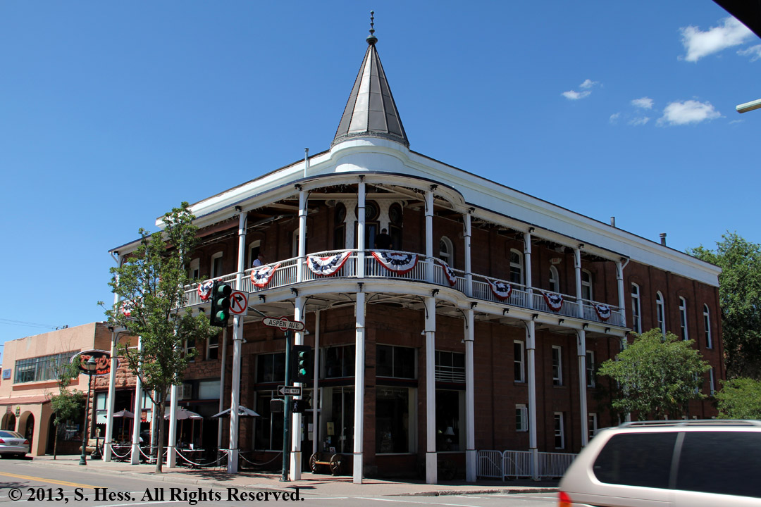
Flagstaff
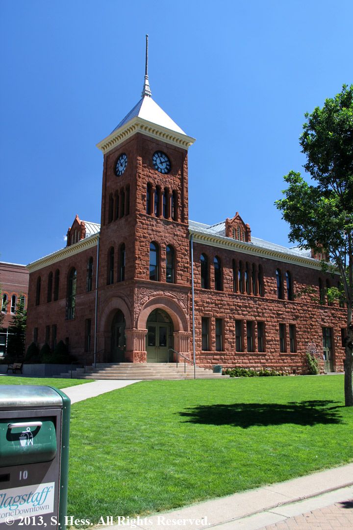
Left, Coconino County Courthouse
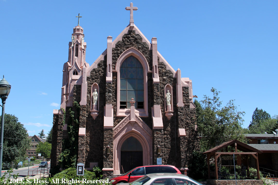
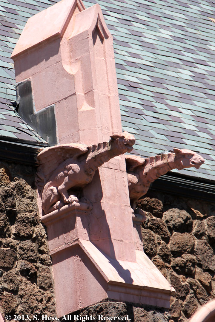
This Catholic church is no longer in use. Note the gargoyle details, at left.
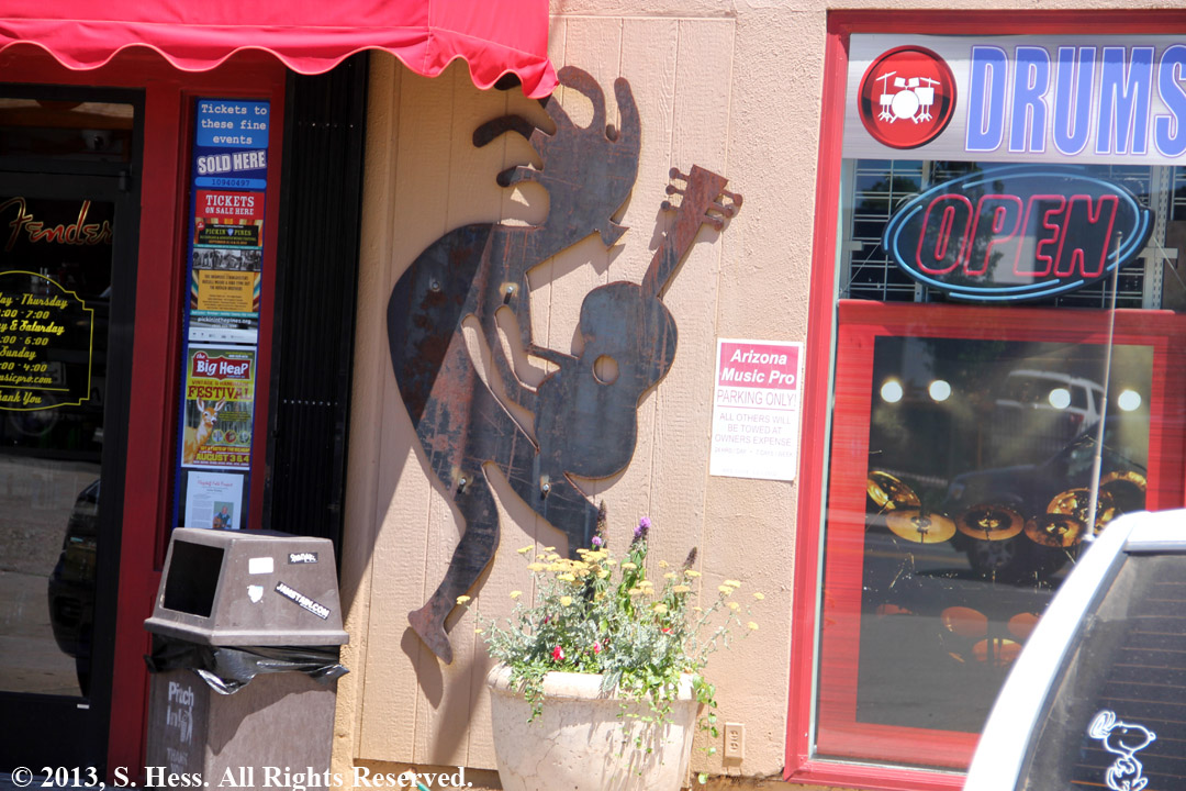
Kokopelli playing guitar instead of his usual flute at a musical instrument store
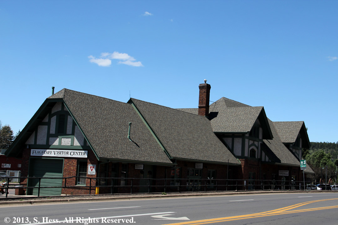
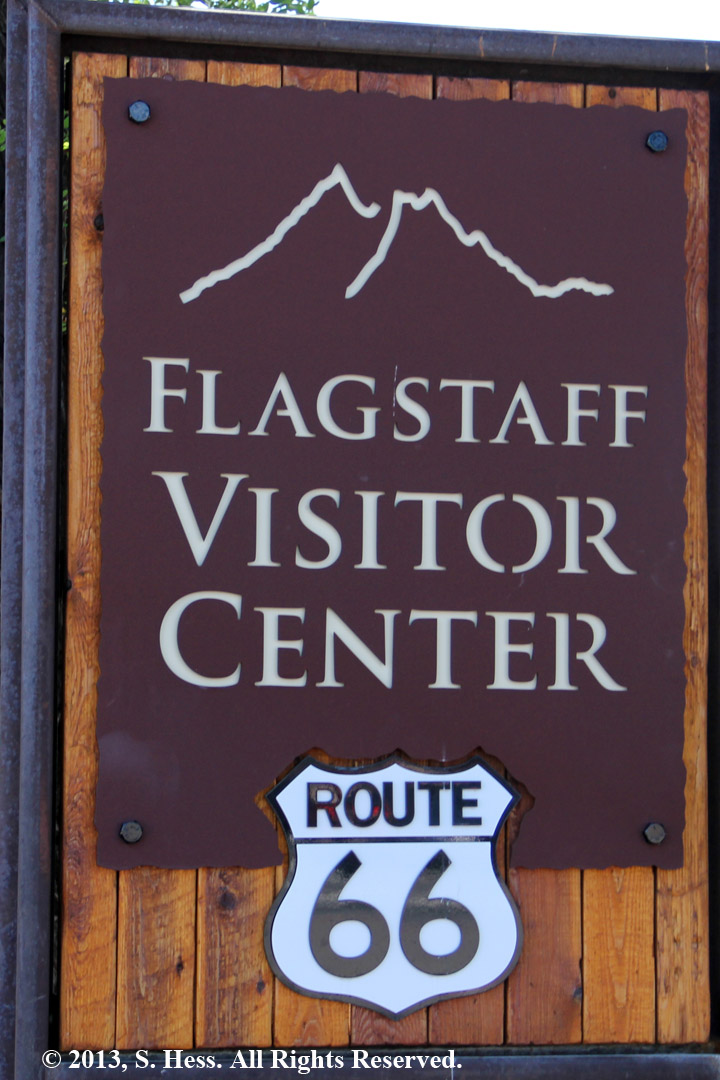
The Flagstaff railway station serves as the town's visitors center and still functions as an Amtrak station
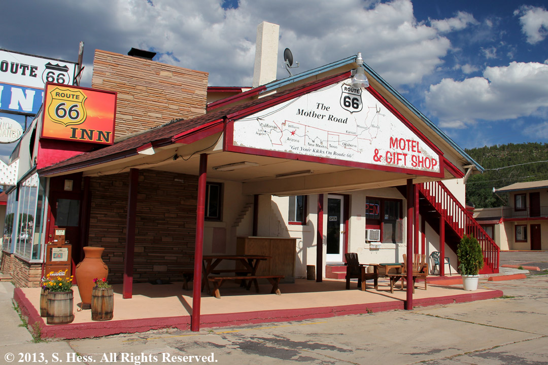
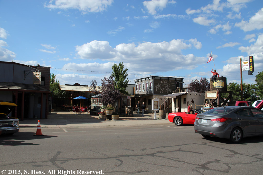
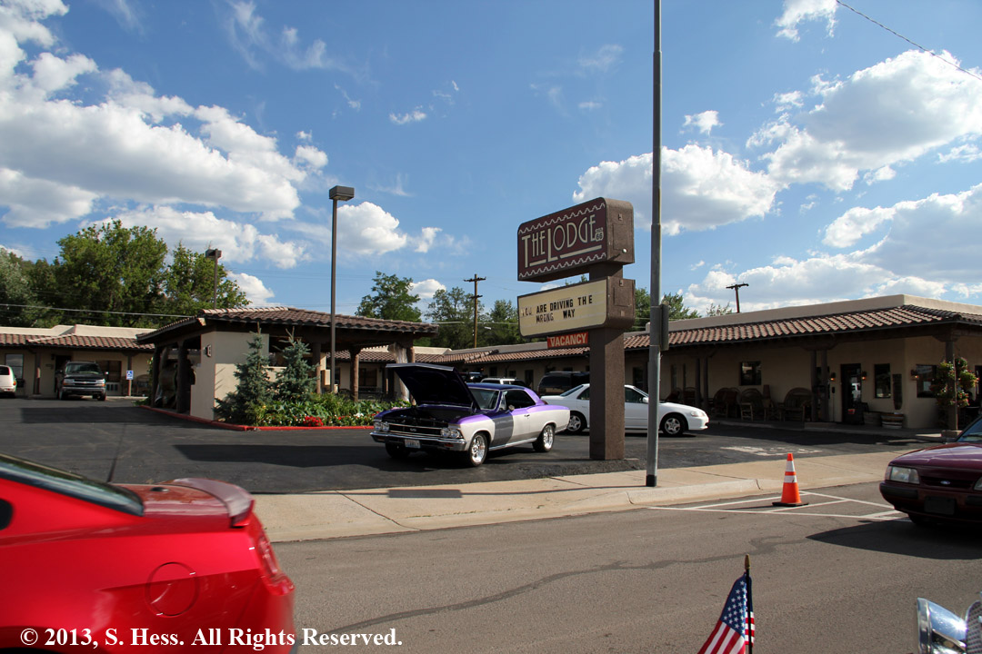
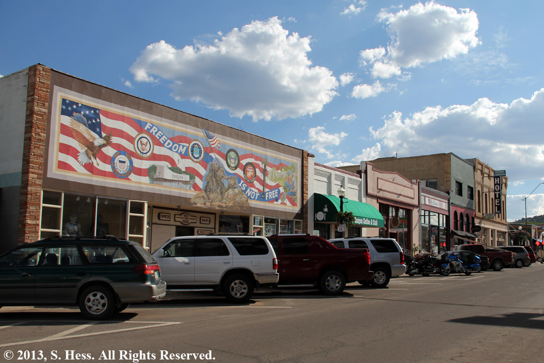
Williams
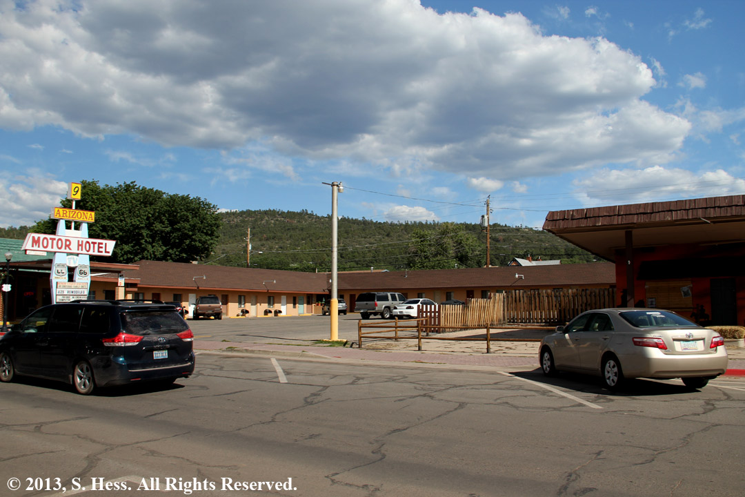
One of several "Motor Hotels" along Route 66
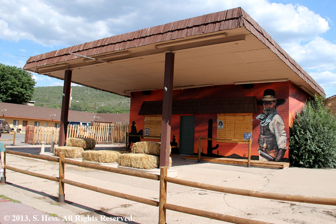
A former gas station that is part of the motel, above left
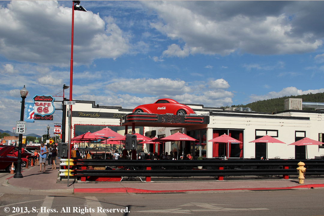
Cafe 66 seems to occupy an old gas station
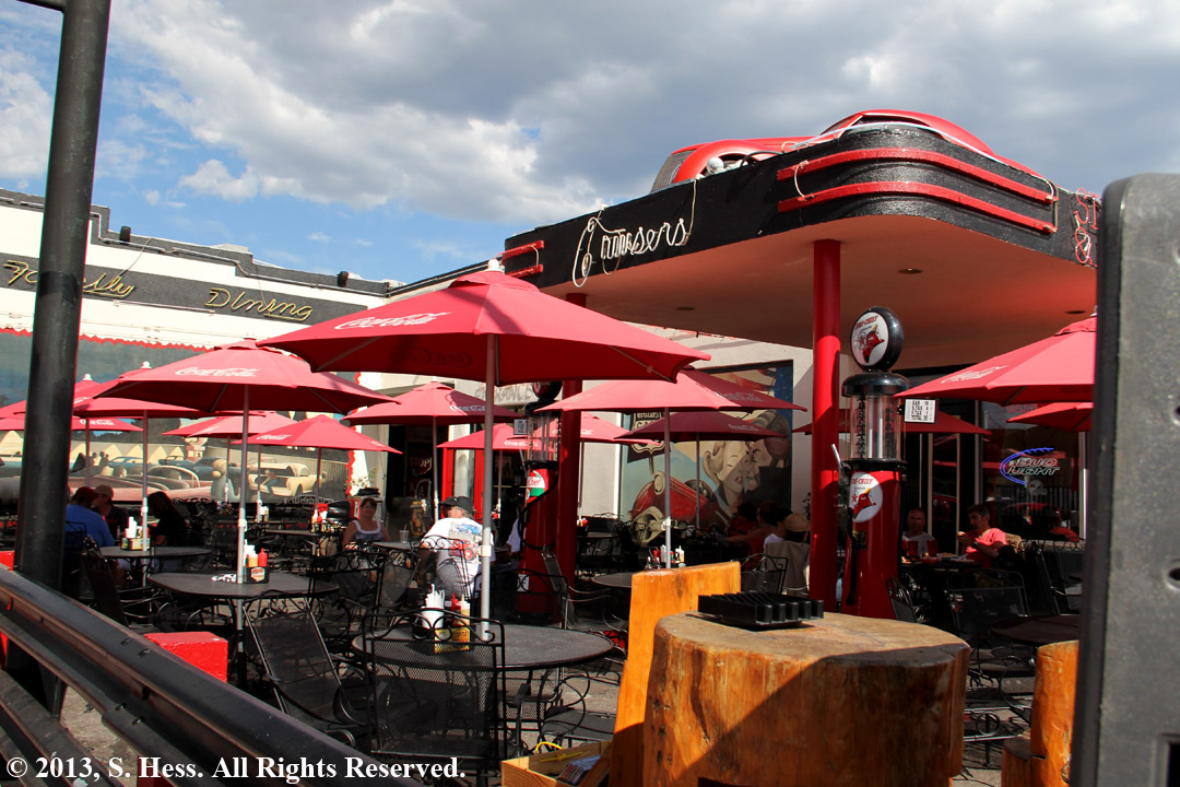
Cafe 66
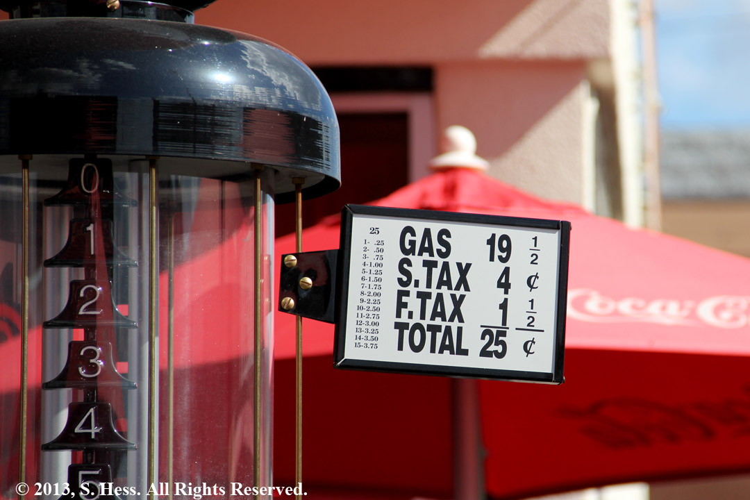
Anyone remember this price for gas?
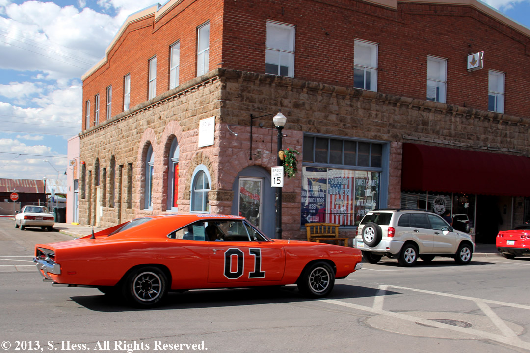
The General Lee was part of a car show in town

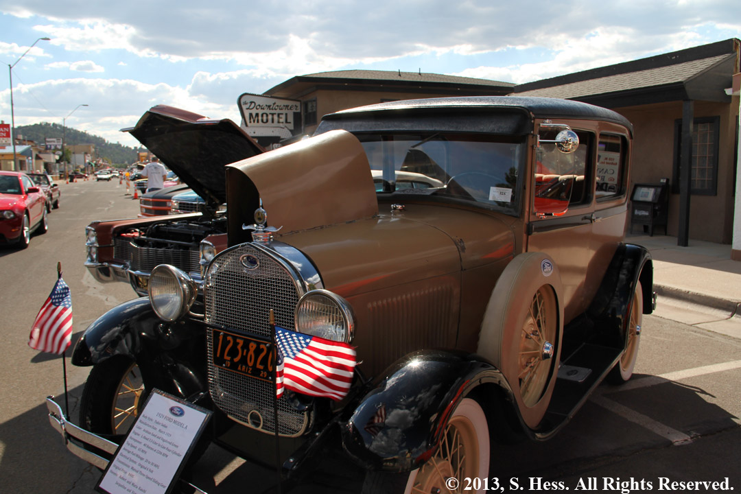
Susie's favorite car, a 1926 Model A Ford
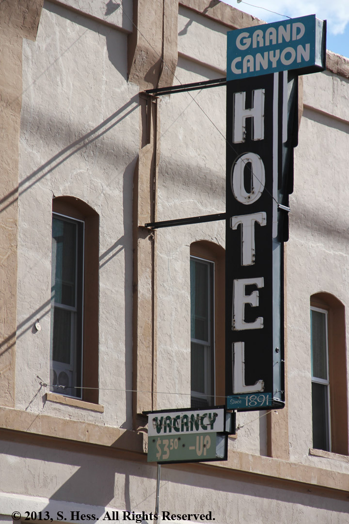
Check out the price for a night in this hotel
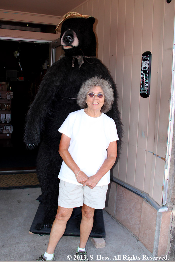
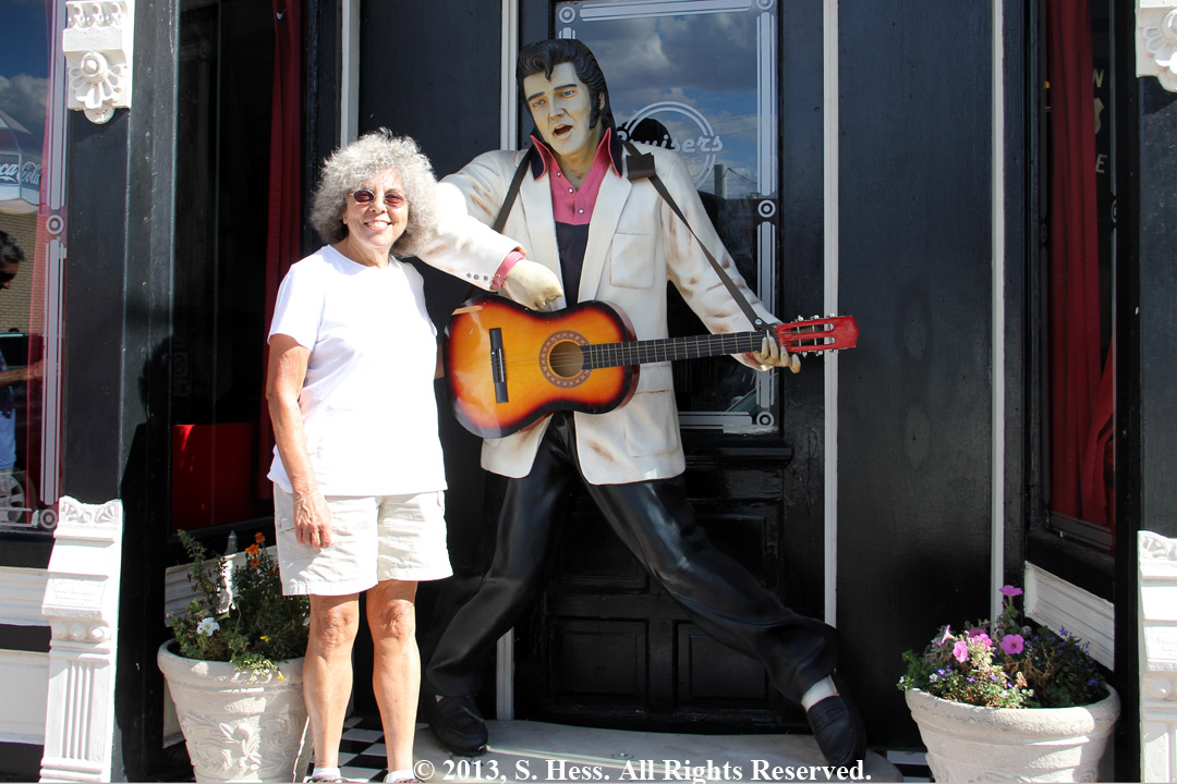
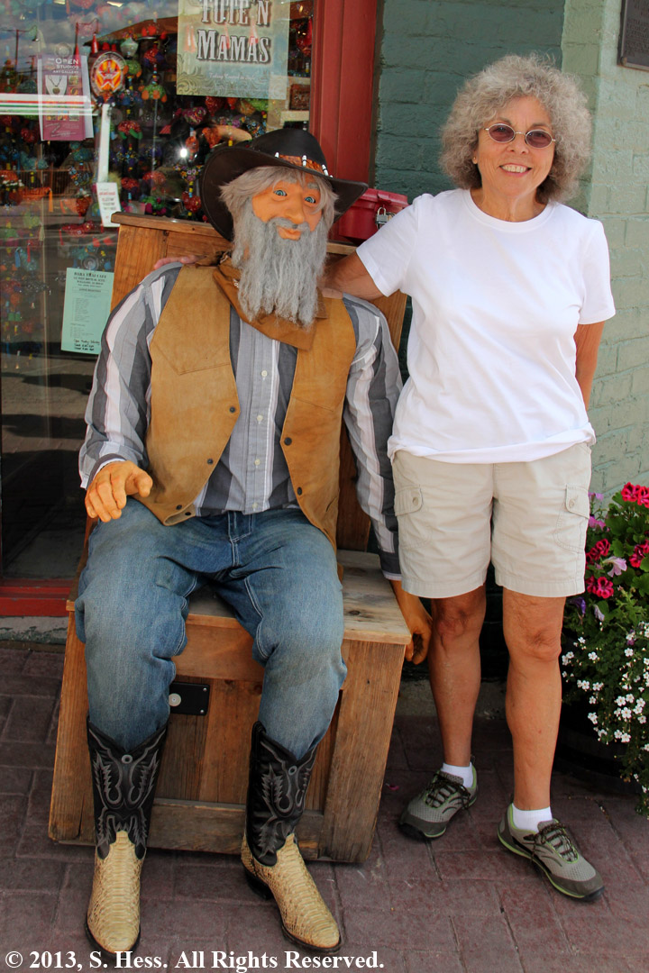
Strange Sights in Williams
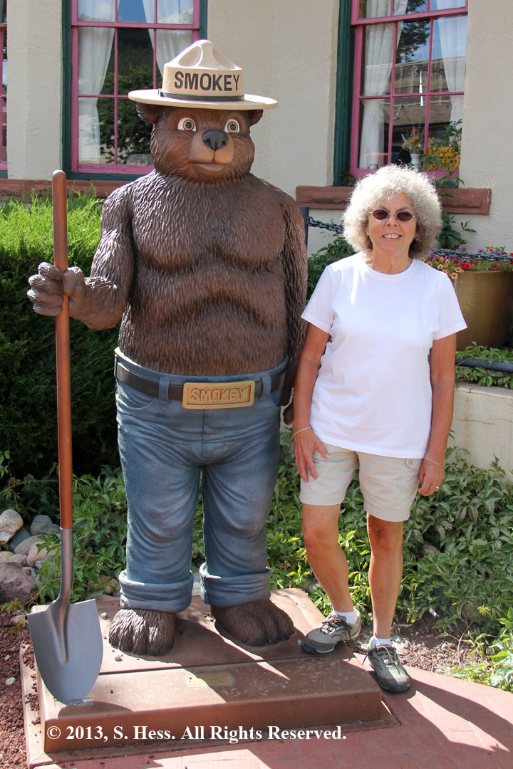
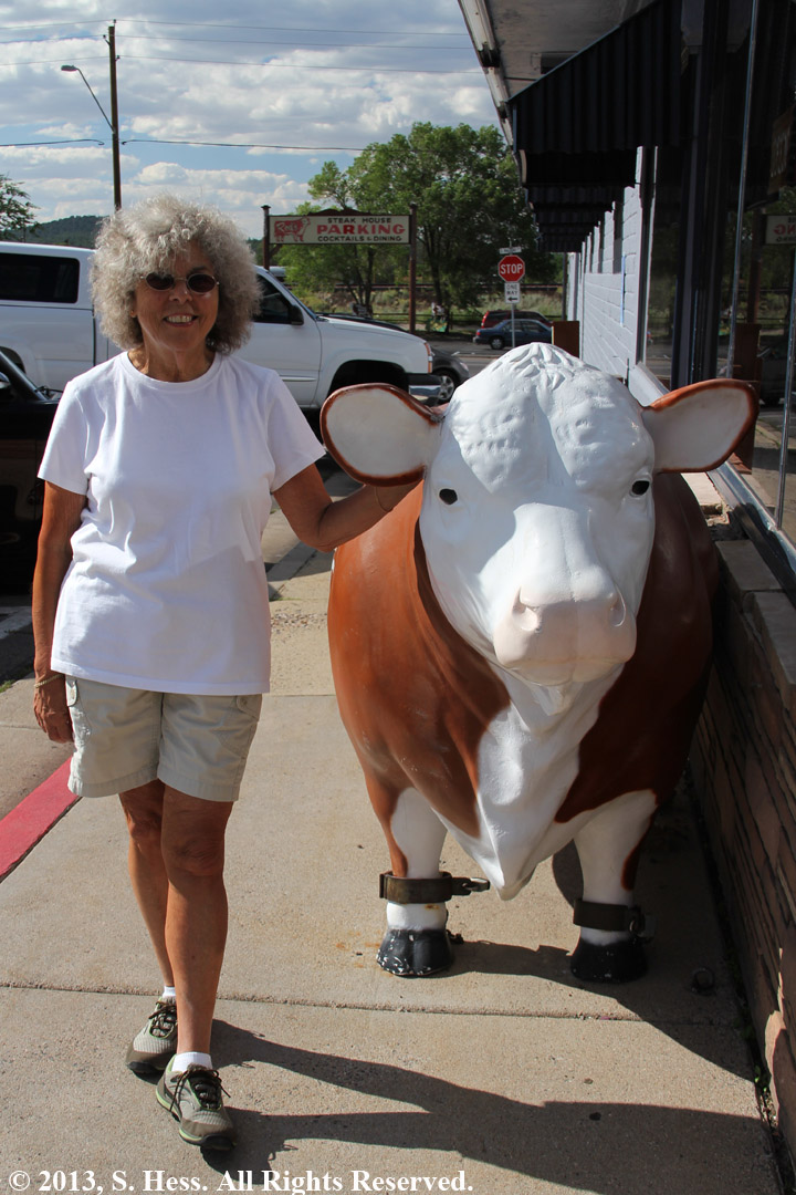
Hey Susie... What do you call a cow that just gave birth?
Decalfinated!